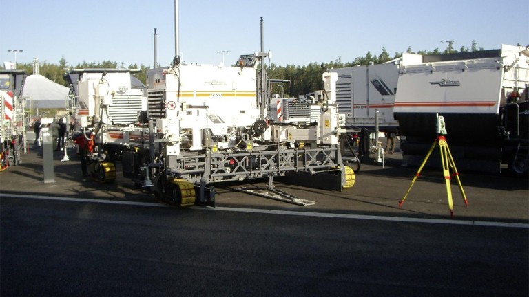
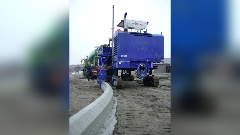
A concrete paving project with a total station in the foreground and an inset slipform paver in the background.

July 2026 | Reading time: 7 min

30 years of 3D machine control:
A digital technology that changed the face of construction sites

An interview with Matthias Fritz about innovation, pioneering spirit and the way to Wirtgen AutoPilot and Smart LevelPro

For three decades, Wirtgen has been one of the driving forces behind the development of smart machine control systems. What began in a small project team with Leica Geosystems AG has today become one of the most influential technologies in the construction industry and provides solutions that set benchmark standards around the globe.
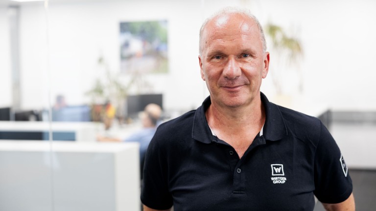
In our conversation, Matthias Fritz, Application Manager 3D Control Systems at Wirtgen GmbH, recalls the most important milestones along the way, describes the pivotal technical moments and tells us why a customer-centric approach remains the key to success to the present day.


Mr Fritz, how did the project begin in the mid-nineties?

I originally worked in engineering surveying. After leaving university, I first worked at an engineering firm and then moved to Leica Geosystems in Switzerland. There, I was part of a small but select team – just three surveyors, a software developer and Olaf Katowski,our Business Director. It was still the same team when the collaboration between Wirtgen and Leica Geosystems began. A customer in Germany was facing an enormous challenge: the construction of an ICE high-speed rail link with a totally new technology – the so-called ‘Slab Track’ method. The method involves laying the track on a stable trackbed of paved concrete slabs instead of on conventional concrete sleepers and ballast. At the time, there was simply no measurement and control system that could truly satisfy the extremely high precision requirements of this construction method.
So how did you respond to this challenge?

We got together with Wirtgen, modified one of their SP 500 slipform pavers and developed an entirely new measurement system from the ground up The big issue now was to work out how we could get the machine and the measurement system to communicate with one another. That marked the beginning of our development of the 3D interface.
At that time, Leica Geosystems had begun marketing the first motorised total stations (the (TCA 1100/1800/2003), which were able to lock onto and track a moving target with extremely high precision. This was the fundamental technology behind the control system. Back then, we developed the software that integrated the measurement system, the necessary 3D data from the construction site and the interface to the machine.

Tolles Produkt

When did the breakthrough come, and where did things go from there?

It came in 1999 – with the ICE high-speed rail link from Frankfurt to Cologne. That was one of the first rail infrastructure projects realised completely using the Slab Track method. A team of up to six machines worked simultaneously on the project – for the first time with 3D machine control and without the need for a physical stringline. That was a real milestone. After that, rail infrastructure projects began to get bigger and more complex. At the same time, work began on equipping cold milling machines with the system – the first one in 1999, a Wirtgen W 2000) for a customer in Wolfsburg. Interestingly, the technology actually spread a little faster there than was the case with slipform pavers.


Were there pivotal technical moments?

There certainly were! In the past, only optical motorised total stations were used. The transition to GPS, or today’s GNSS, was a real game changer. Wirtgen then decided to develop its own technologies and make the machines smarter.

You moved to Wirtgen in 2009. How come?

Dr Günter Hähn, then Head of Research & Development and later CEO atWirtgen, initiated the project to more closely align the systems to customer-needs. The idea was not simply to expand the systems, but to integrate them more deeply into the machine – to let them ‘think for themselves’, so to speak. I was then involved in the realisation of this project.

Archive photo: Wirtgen machines with a legacy logo and a total station.

What happened next, and how do things stand today when it comes to levelling?

The idea we had was to replace the conventional physical stringline with a virtual stringline in the simplest possible way. This led to the development of the Wirtgen AutoPilot, a hybrid system that combines GNSS technology with a total station and utilises a digital 3D model generated on the construction site. It controls the machine's height, slope and direction of travel fully automatically. We presented the AutoPilot at Bauma 2013 as the world's first system of its kind, where it also won the prestigious Bauma Innovation Award. Today, the machines are a lot smarter than they were back then. In the past, the 3D interface had been deeply embedded in the machine control system, but now our interfaces are standardised on CAN bus technology and modular. Customers are free to choose whether they want to use solutions from Wirtgen, Leica Geosystems, Trimble or Topcon – Wirtgen has ensured compatibility with all other providers..

What role does customer-orientation play?

It’s a key priority for us. Take the slipform paver SP 33, for example. In the States, this model is a key player in the paving of in situ kerb profiles. That’s why we deliberately developed a simpler system, because classic 3D solutions were much too complex. It had to be ready to go with minimal setup times, it had to work reliably, and it had to be so easy to operate that we could put it in the hands of employees who were new to the job. That shows that technology has to adapt to users, not the other way around.

Tolles Produkt
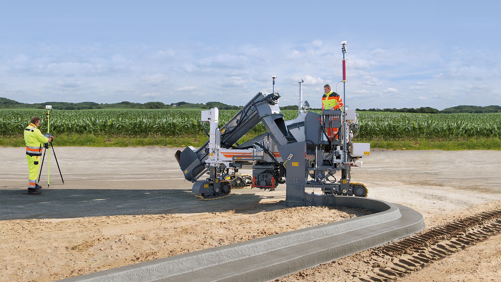
Wirtgen machine on a farm track by a small stream.

AutoPilot 2.0

Wirtgen AutoPilot 2.0 can produce offset and inset profiles with higher precision at an even lower cost. For instance, it allows the paving of concrete safety barriers, kerbs, traffic islands, or concrete road surfaces with widths of up to 3.5 m. It eliminates the need for laborious surveying and the setup and removal of physical stringlines.

Instead, the AutoPilot 2.0 3D control system works with a digital data model computed either from legacy data or from data recorded for the purpose directly on the construction site. The software computes the ideal line for the concrete paving process from all the measured points. Two GPS receivers mounted on the machine communicate with a GPS reference station on the construction site. The satellite-based navigation system (GNSS) automatically controls the steering and cross slope of the slipform paver.

Wirtgen offers AutoPilot 2.0 for the SP 15i, SP 25i und SP 33 models. Retrofitting on previously purchased models is also possible.

AutoPilot 2.0
Control of a Wirtgen machine, mood: dark and studio.

Smart LEVEL PRO

With ‘Smart Automation in Roadbuilding’, the Wirtgen Group offers innovative solutions for the precise removal and paving of asphalt on the basis of digital terrain models. One core component is Smart LEVEL PRO, which enables automated control of the milling depth and cross slope on Wirtgen F series large milling machines.

Prerequisites for its use are two StarFire GNSS receivers and the corresponding software installed in the control system of the machine, where they enable automated and precise realisation of the milling work. Full integration in the machines ensures predictable results, higher quality and reduced consumption of resources in asphalt construction.

Smart LEVEL PRO is complemented by the Work Planner in the John Deere Operations Center™. The Work Planner visualises key performance indicators such as the milling area, the milling volume and minimum, maximum and average milling depths.

Smart LEVEL PRO

And today – after 30 years of 3D machine control?

Today, we’re talking about AutoPilot 2.0 and the latest, extremely innovative Smart LEVEL PRO levelling application as systems fully integrated in the F series large milling machines. The level of integration is constantly increasing and, as a result, is becoming more and more deeply embedded in the machine's operating system. At the same time, today’s digital terrain models are transmitted directly to the machines via mobile radio networks by the Work Planner in the John Deere Operations Center™. There, planning data from typical surveying and planning systems is analysed and assessed for its suitability for the automation of processes.

Our core competence is and remains levelling – that is, the precise control of height or milling depth, slope and steering. And this is exactly where we will continue to develop practice-relevant solutions for our customers in the future.


30 years of innovation

1996

  • Start of the Slab Track project for ICE high-speed rail infrastructure: First collaboration with customer Leonhard Weiss

1999

  • ICE high-speed rail link Frankfurt–Cologne: the première of stringless control with a 3D system – a technological breakthrough with six machines working simultaneously
  • First integration on large milling machines: the start of widespread market-penetration

2007

  • Introduction of customised solutions (e.g., the SP 15 in the USA): focused on simplified operating

2008

  • Technology Days in Tirschenreuth: live demonstration for visitors to the event

2009

  • Development of levelling as a core competence:Matthias Fritz moves to Wirtgen GmbH

2013

  • Presentation of AutoPilot at Bauma: the world’s first system with a virtual stringline also wins the prestigious Bauma Innovation Award

2015 onwards

  • Standardisation of interfaces: ensures compatibility with multiple third-party products

2018

  • Further development to AutoPilot 2.0 through improved combination of hardware and software

2026

  • Further development of the levelling systems: launch of Smart LEVEL PRO